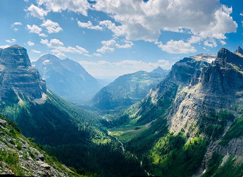
Are you going hiking with kids in Glacier National Park? Awesome. Your time couldn’t be better spent. You’ve reviewed our checklist for what to pack. Hint: heavy on the gummy bears. So, where to? The answer, of course, depends on your kids’ abilities and enthusiasm. We’ve seen happy 4 year olds out hike their much longer legged 10 year old brothers. Again: gummy bears. That being said, here’s our Top Ten Hikes for Kids in Glacier National Park.
Top Ten Hikes for Kids in Glacier National Park
1. Rocky Point
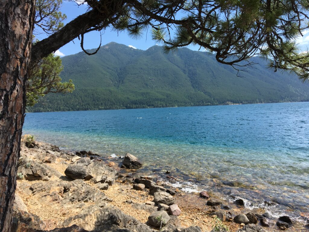
1.9 miles roundtrip with 350 feet elevation gain. Bathrooms at Fish Creek Campground.
This trail starts on the Inner North Fork Road by the Fish Creek Campground. The parking area has some large gravel mounds, but don’t let that stop you. It is a beautiful walk through the woods passing creeks and the shore of Lake McDonald. The lake is a wonderful place to stop and relax or play with children. This trail loops upwards and has a wonderful view of the lake and back towards the Garden Wall (Logan Pass area). Part of the trail winds through an area that was burned in the Roberts fire of 2003. There are some large rocks to sit on at the top with great views that make a good stop to catch your breath, or eat your lunch.
2. Hidden Meadow – 2 miles roundtrip with 100 feet elevation gain. No bathrooms.
This short, sweet hike is for anyone in the Polebridge area. The trailhead is just a few miles south of the Polebridge entrance station on the Inner North Fork Road. This hike does not have the grandeur that some of the other hikes on this list have, however, I’m still a fan. It’s a mellow walk through the forest that ends in a large open meadow with one of the largest douglas firs I’ve seen in the park. I’ve never seen anyone else on the trail, but often see wolf and bear tracks.
3. Avalanche Lake – 4.5 miles roundtrip with 730 feet elevation gain. Bathrooms at parking area, Trail of Cedars and lake.
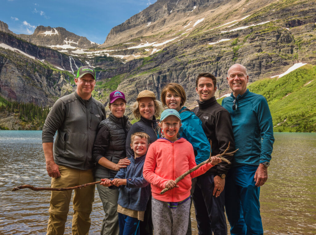
Avalanche Lake is one of the most popular trails on the west-side of the park and is a great introduction to Glacier. The trailhead is located a few miles east of Lake McDonald along the Going to the Sun Road. It starts along the wheelchair accessible Trail of the Cedars (1 mile loop/60 feet elevation gain). This is a mainly shaded hike through a gorgeous cedar and hemlock forest. The trail winds along Avalanche Creek for the first 3/4 of a mile and then veers into mostly forest. There is a great example of an avalanche that occurred in 2011 about halfway up. It’s worth it to walk down the spur trail to overlook this feature. The trail ends at the Avalanche Lake basin. This is a gorgeous lake with several large waterfalls at the back of the basin. The most populated area is right at the foot of the lake where the Park Service has built a boardwalk and stairs. There is also a nice beach at the head of the lake, but you will need to ford a small inlet creek to get there. NOTES: Some people do try to travel closer to the waterfalls, but it’s not recommended due to falling rock. Also, this lake is fabulous for a picnic, but keep a constant eye on your lunch. The chipmunks here are fearless…and quick.
4. Hidden Lake Overlook – 2.7 miles roundtrip with 540 feet elevation. Bathrooms at Visitor’s Center.
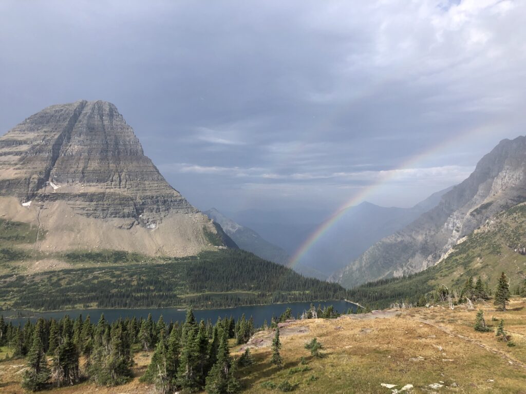
This trail starts behind the visitor center at Logan Pass along the Going to the Sun Road. It has a boardwalk that has been built to deter guests from hiking off trail, thus preserving the fragile alpine ecosystem. I can never guarantee animal sightings, however there is a very good chance of seeing mountain goats, bighorn sheep, marmots or possibly grizzly bear along this trail. The goats can be especially photogenic, however please remember they are wild and give them space. The overlook has a platform deck that has a sweeping view of Hidden Lake and the peaks that surround it. The more adventurous can travel down the 1,000 feet of switchbacks to the lakeshore (but remember you have to hike back up!).
5. Virginia Falls – 3.6 miles roundtrip with 525 feet elevation gain. Bathrooms at Virginia Falls.
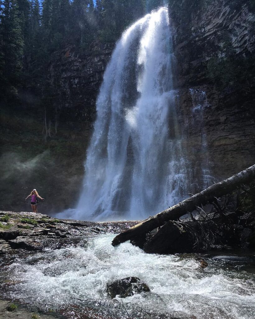
If you like waterfalls, this is the hike for you. I am a huge fan of this area in the spring/early summer when the waterfalls are full. A small pull-off along the Going to the Sun Road marks this trailhead. The hike is beautiful and mostly forested. Just a mile or so in you will see St. Mary Falls, which is powerful in the spring. Follow the trail upwards and you’ll get to Virginia Falls. It has two great viewing areas. One view is across the bridge and there is also a great spur trail that takes you right up to the base of the waterfall. This allows you to feel the power of all the water coming down (it can also be very wet). If you have some extra time and are looking for a few more miles you can travel out to Sun Point on the way back. It takes you along St. Mary Lake with breathtaking views of mountains that surround this area. It does also add one more waterfall (Baring Falls). NOTE: This addition does require a shuttle back (and make sure that the Sun Point area is open, otherwise you will have to hike back to Baring Falls and shuttle from there).
6. Grinnell Lake – 3 miles roundtrip with 220 feet elevation gain. Bathroom at boat dock and lake.
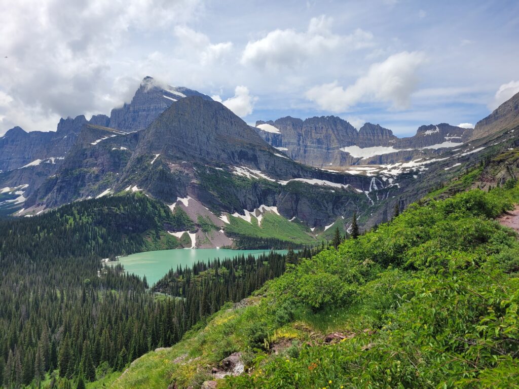
This easy hike can start in two ways. The first, (which will add a few miles each way to the mileage stated above) is right from the Many Glacier Hotel on the Swiftcurrent Nature Trail. The second way, (the easiest) is to take the historic boats (Glacier Park Boat Company) across Swiftcurrent and Josephine Lake. I add the boat in here because it is one of the prettiest in the park, and we often see wildlife right from our seats (plus it makes the hike very short and easy). This is a nice shaded hike that leads you to one of the most turquoise lakes in the park. The water from Grinnell Glacier, which sits in an unseen basin above you, falls hundreds of feet into the lake in front of you. It is not uncommon to see bighorn sheep or mountain goats high on the cliffs above. I’ve even seen a moose swim across the lake…on two separate occasions. NOTE: Make advanced reservations for the boat if possible.
7. Red Rock Lake / Falls – 4.2 miles with 285 feet elevation gain. Bathrooms at Swiftcurrent Motor Inn.
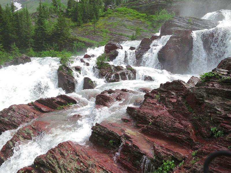
Many Glacier just doesn’t disappoint, and neither does this hike. It is a mix of sun and shade with mostly views that make you want to look up. The mountaintops are far above you. This valley is home to a chain of lakes. The first is Fishercap, which I recommend stopping at on your way in or out. The second lake is Red Rock Lake. There is a nice swimming beach as you first reach the lake, but the falls are at the head of the lake. The falls are not quite as photogenic as others, but this is a great area to hike around and check out the different viewpoints (insert acknowledgement of risk here). Many people stop here to have a snack or lunch, however, if you have extra energy, the trail does keep going (and going…all the way over Swiftcurrent Pass to Granite Park Chalet). NOTE: This is major moose and bear country. I have almost never traveled up this valley and not seen one of these animals. Bullhead Lake just above Red Rock Lake is known for seeing multiple moose in one sitting.
8. Running Eagle Falls – 1 mile loop with 15 feet elevation gain (wheelchair accessible). **Easiest hike on list.** Bathrooms at trailhead.
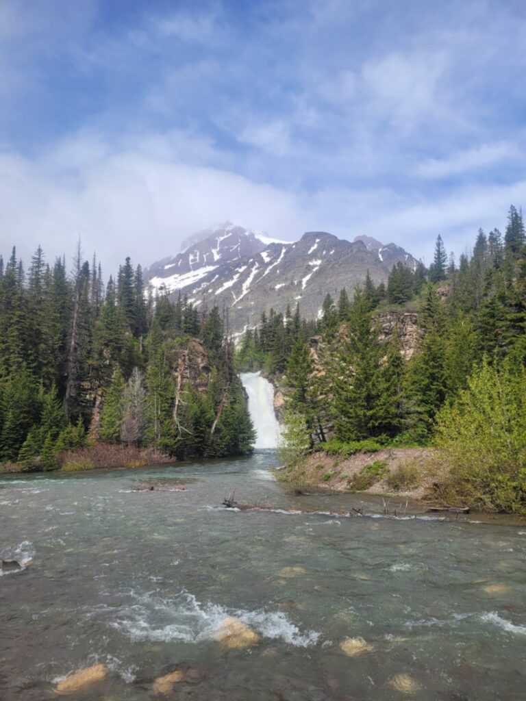
Also known as Trick Falls for its unique rock formation, this little gem of a hike is on your way into the Two Medicine valley. This is a great walk for just about anyone. My kids love it. While many people just stay long enough to take a picture, my family can make an afternoon out of this place (granted I do have very young children). It is a great place for a picnic and tossing rocks. The trail ends just on the other side of the creek at the observation platform.
9. Aster Falls – 2.8 miles roundtrip with 320 feet elevation gain / Aster Park 4 miles roundtrip with 780 feet roundtrip. Bathrooms at Two Medicine Campstore.
I list these both in one because I have been here many times with families that have members that want to go ahead and brave the switchbacks while the rest of the family chills at the falls. This is a nice hike with both forested and meadow views. The first half of the hike is moose country, so keep your eyes open. Once you cross the small bridge, you will see the trail to the falls on your left. There is not a ton of space to hang out in the spring (due to all the water), but it does have a nice rock to sit on later in the season. For those that don’t mind some uphill, keep going up the switchbacks to “Aster Park”. The trail ends on some great sitting rocks with a view over looking Two Medicine Valley. A wonderful place for a picnic…or a nap on a sunny day.
10. Twin Falls – 2.3 miles roundtrip with 100 feet of elevation gain. Bathrooms at the boat dock.
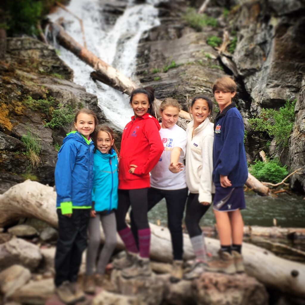
This is another destination with a boat ride (Glacier Park Boat Company). Although the trail around the Lake is nice, the boat shaves almost 6 miles off this roundtrip and they do a great commentary about the cultural and natural history of the area. The trail up to Twin Falls is a nice, easy, and wooded walk. Twin Falls, as all waterfalls are, really nice and full in the spring. In the fall, the water is usually low enough to cross the creek and have lunch on the rocky areas around the falls (again, insert acknowledgement of risk). NOTE: The falls on the left is home to an American Dipper (aka. Ousel). These are amazing little birds that literally stand in fast flowing water to get their food. Keep your eyes out for this little gray bird (it’s really good at blending in!).
For those looking for a little bit more of a hike try Upper Two Medicine Lake. It’s 4.8 miles roundtrip. 380 feet elevation gain. Bathrooms are at the lake. NOTE: This is also a backcountry campsite. Please do not eat in the tent sites. If you are looking for a spot that is less buggy or out of the wind, try the flat rocks before the campsite that looks out over the smaller ponds and the valley.

